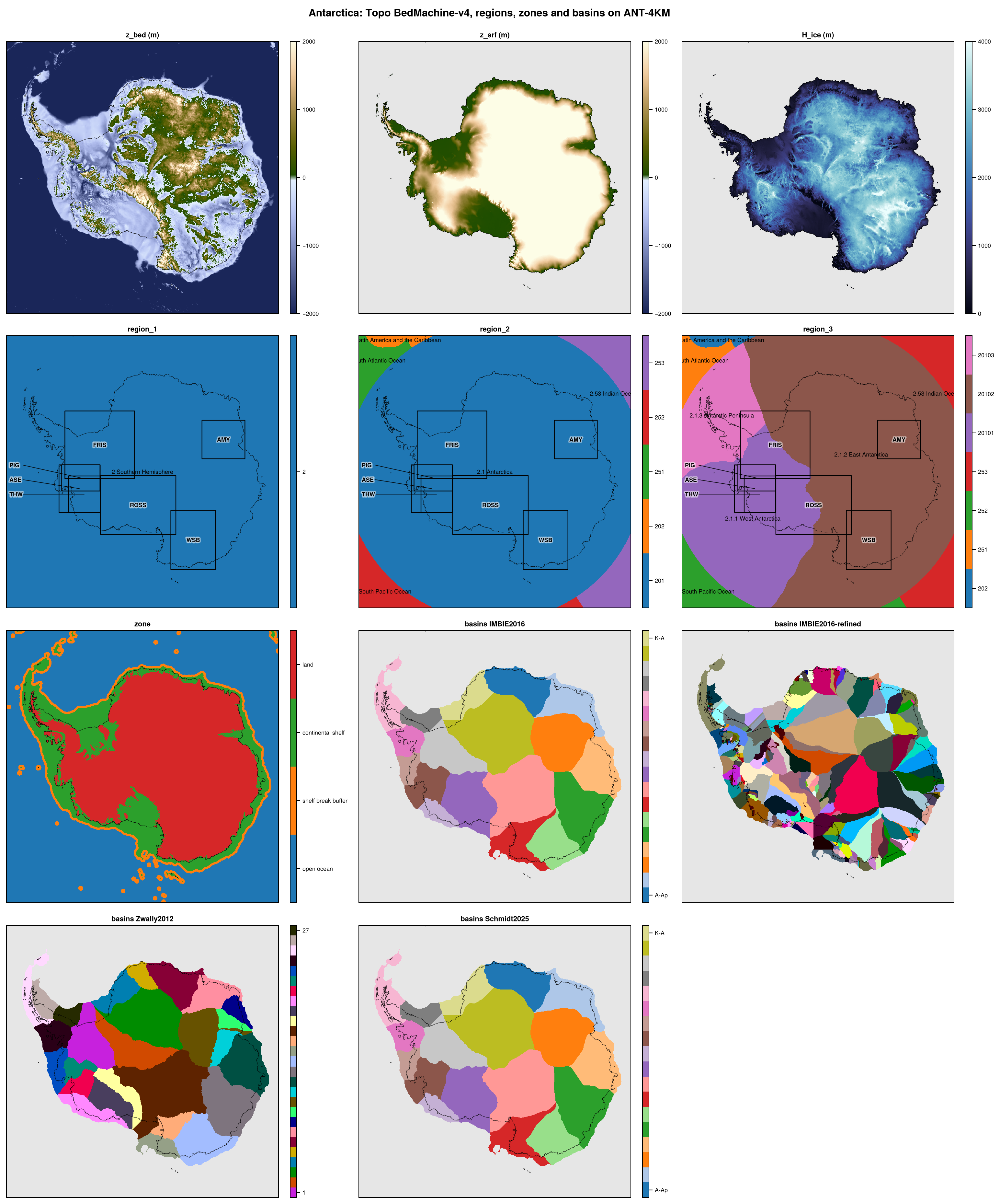
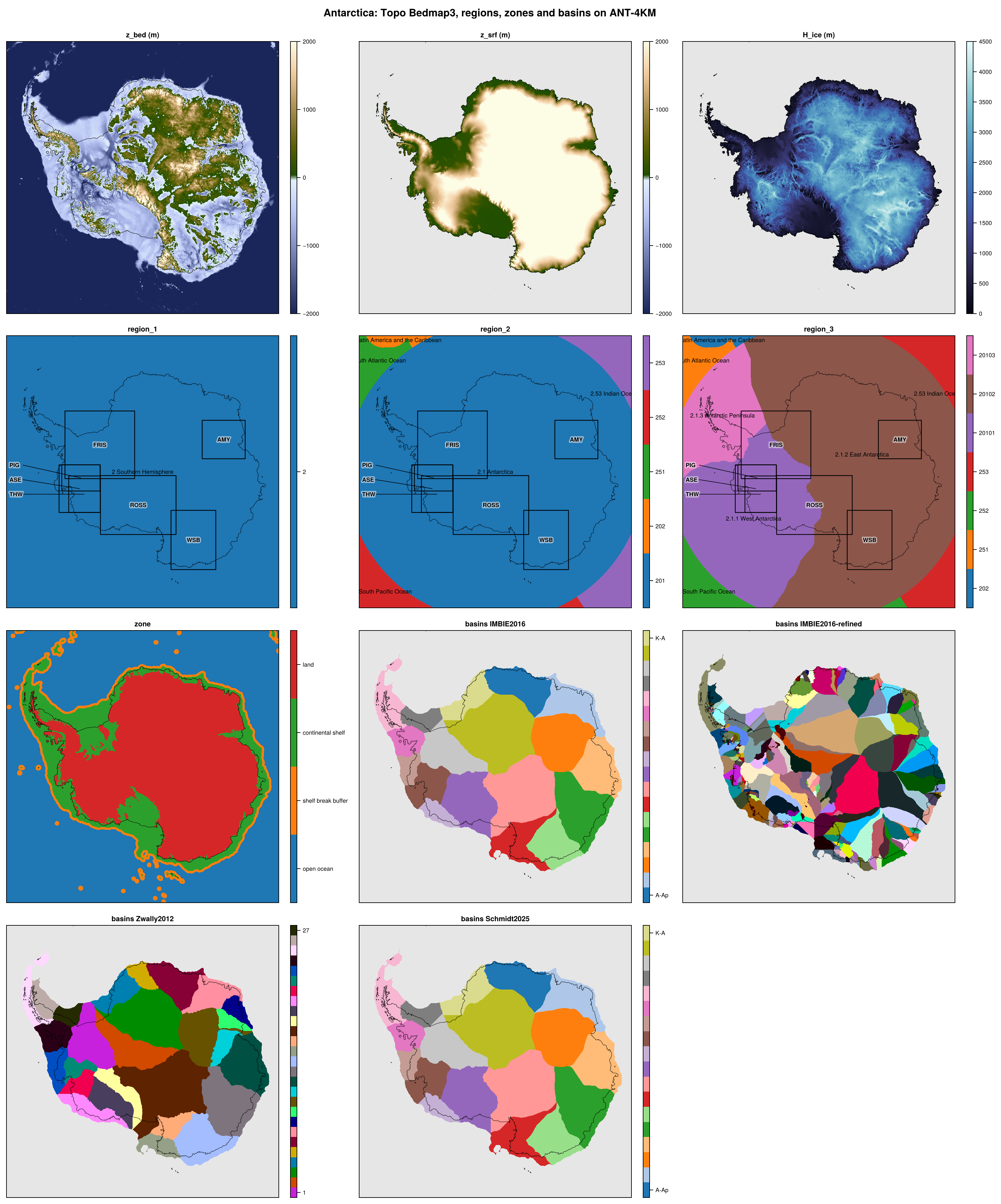
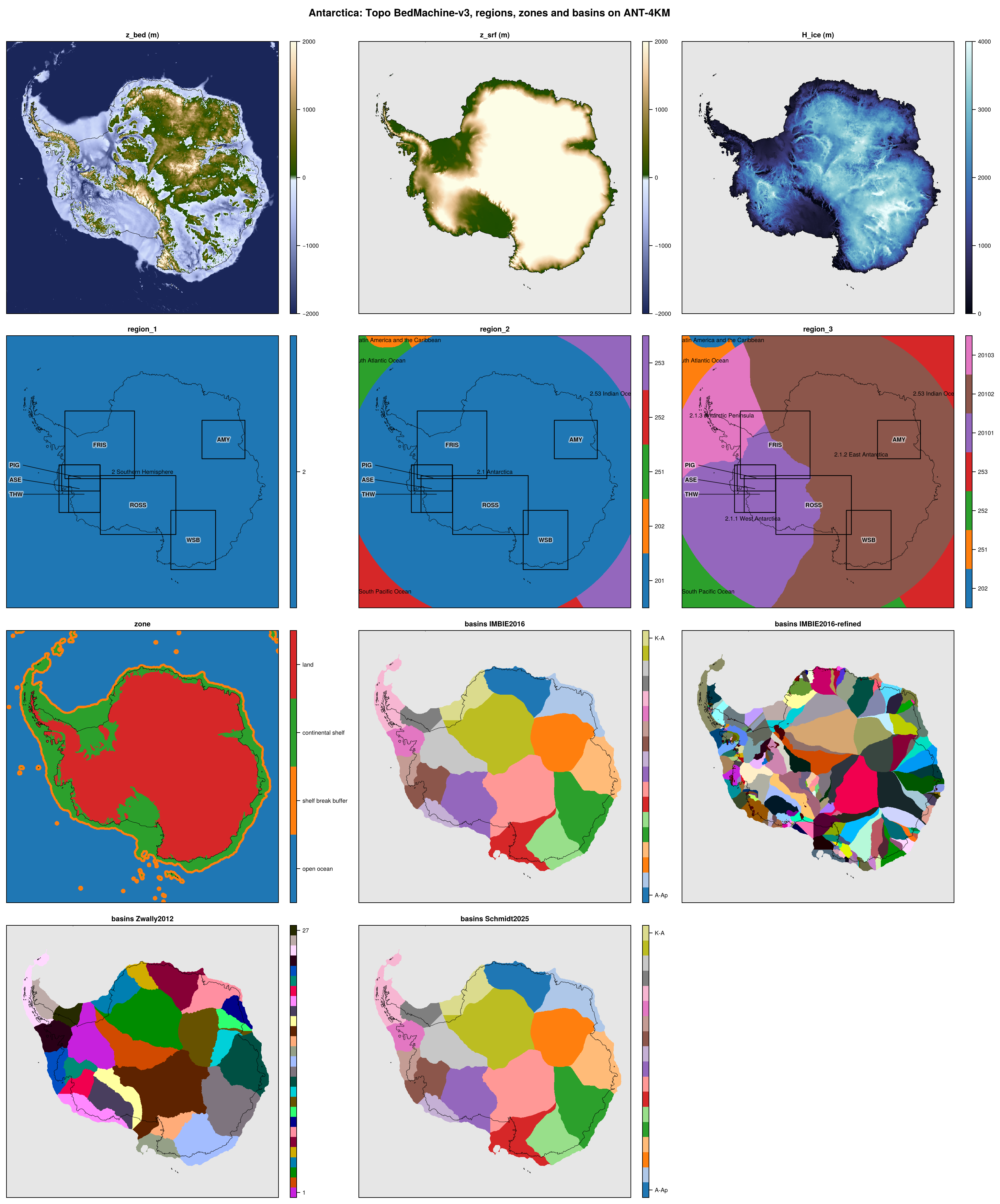
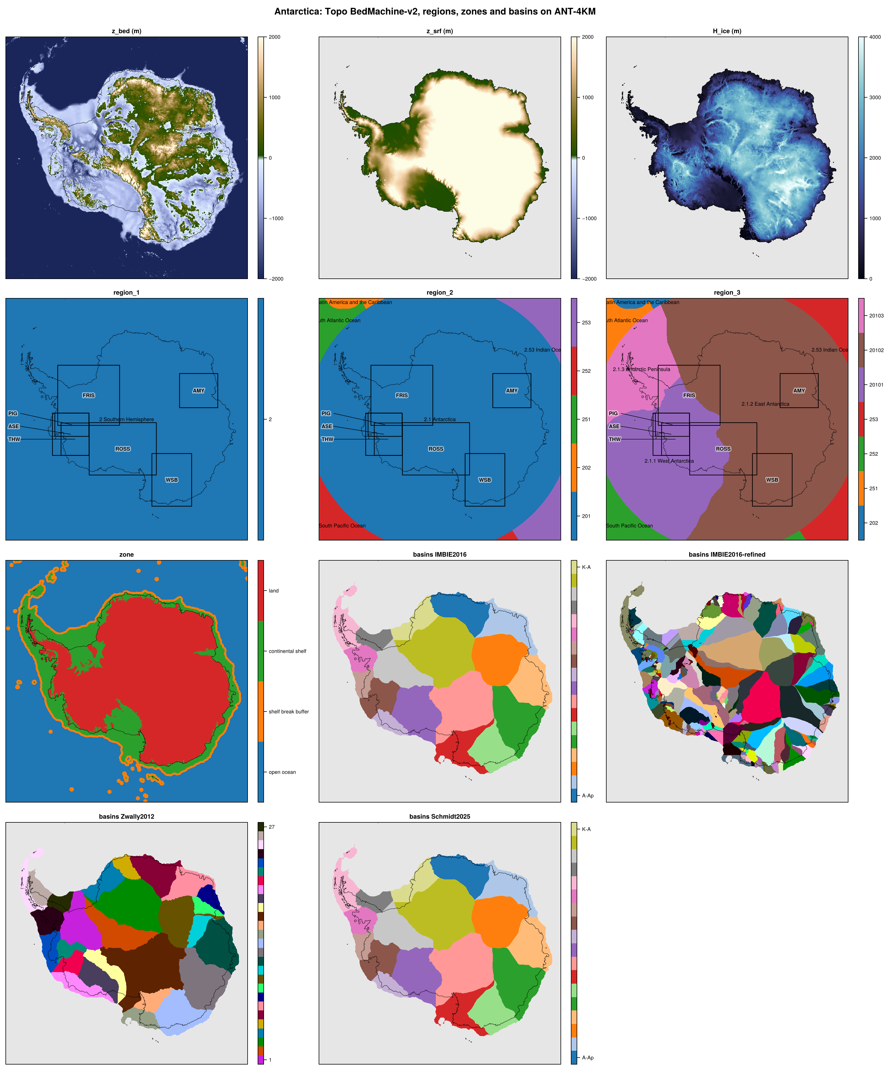
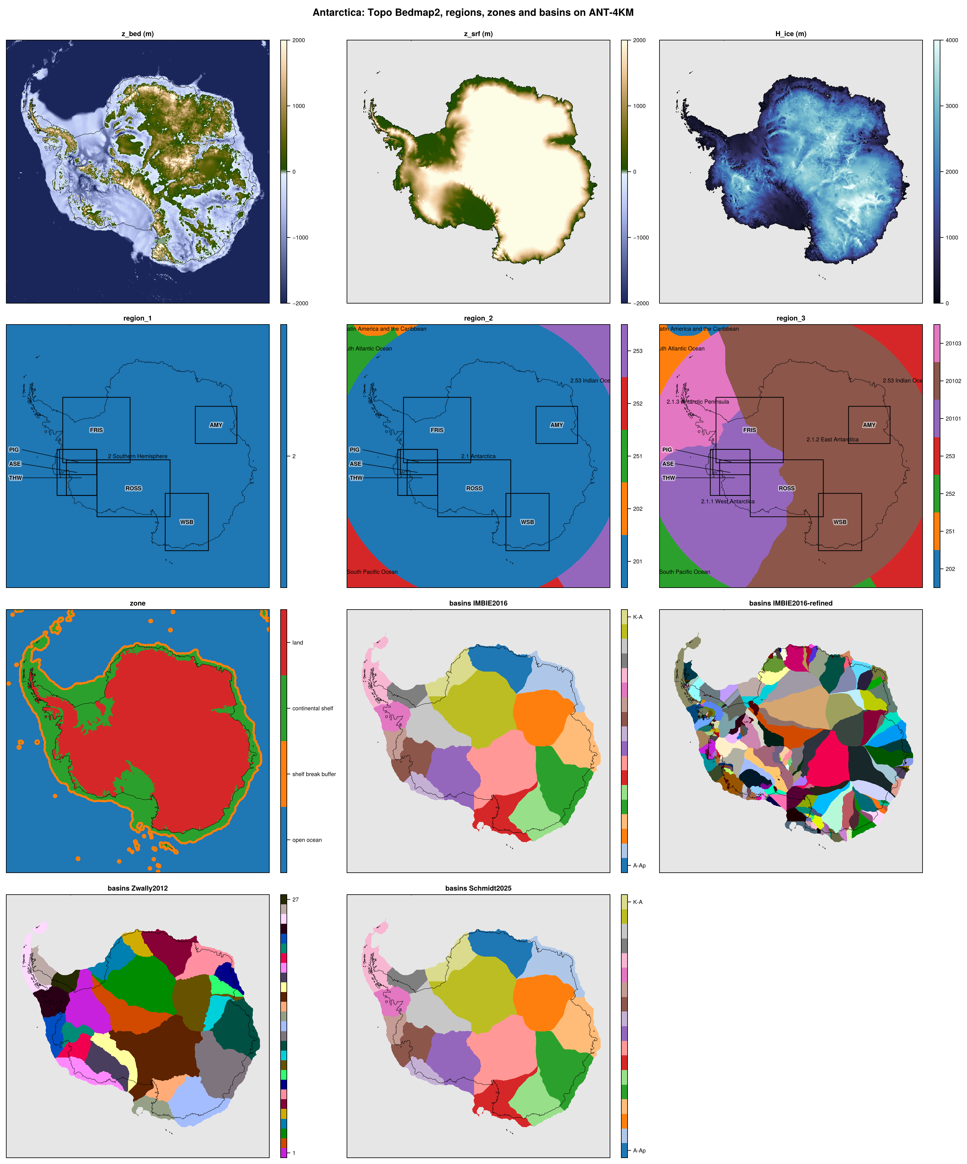
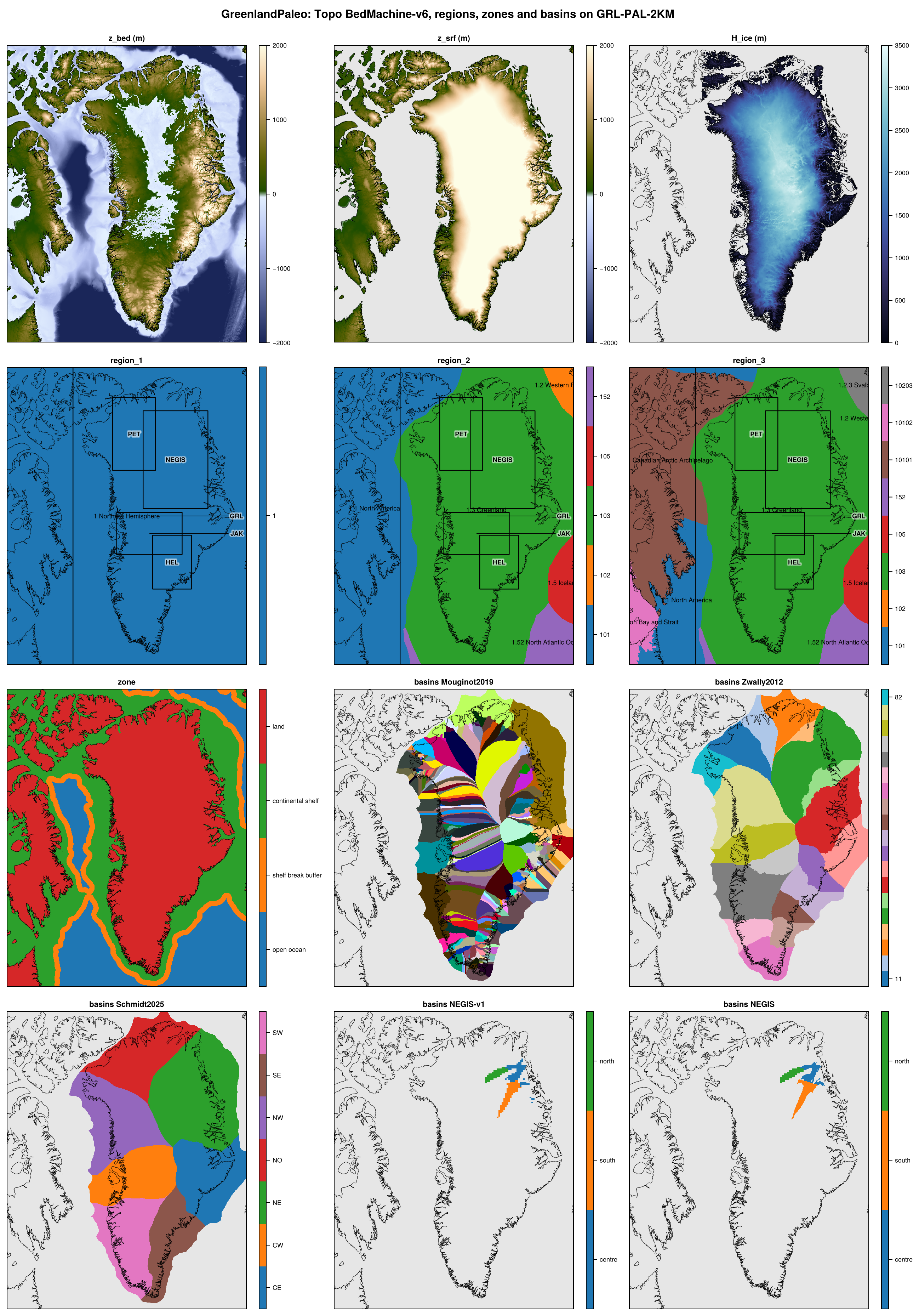
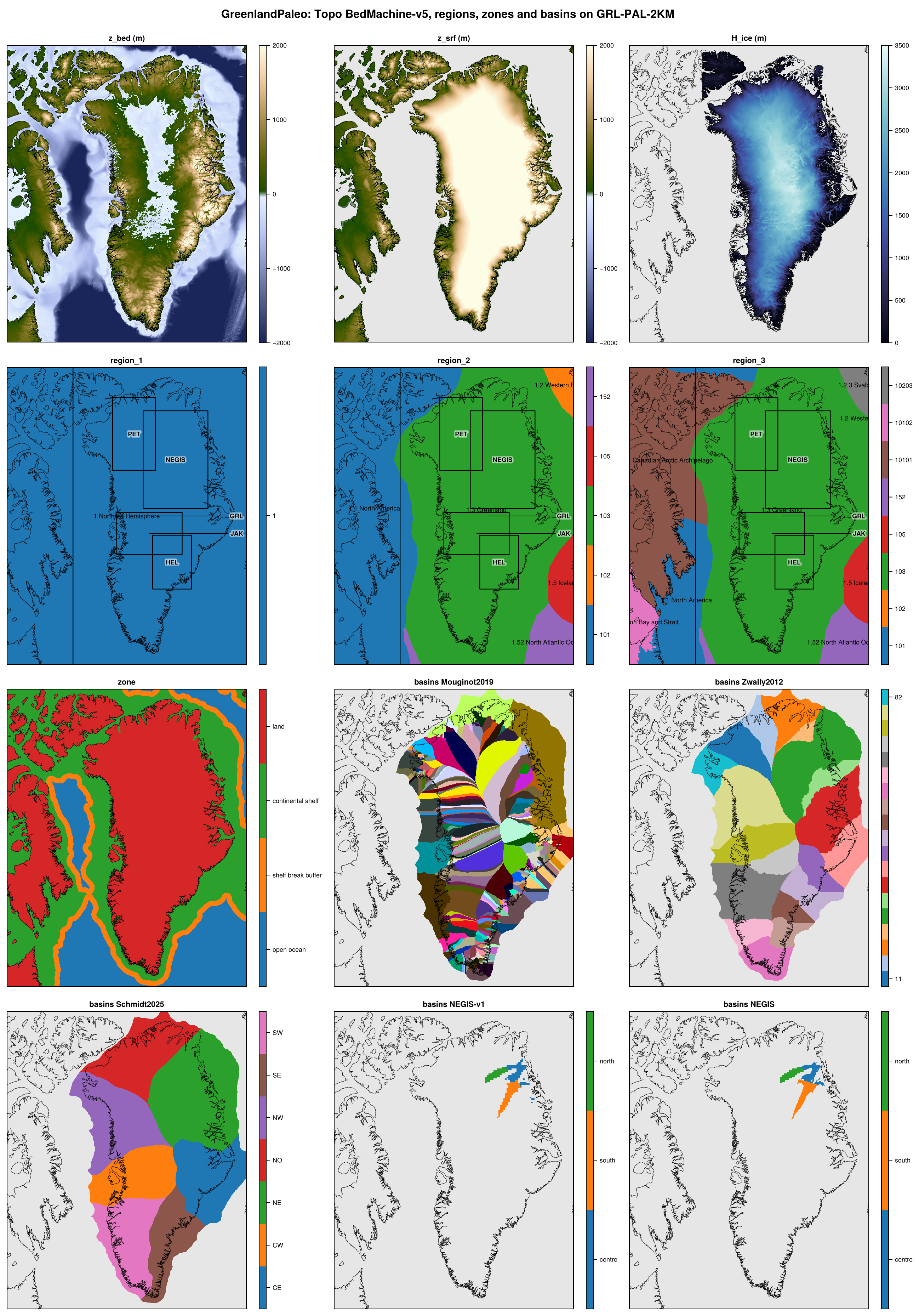
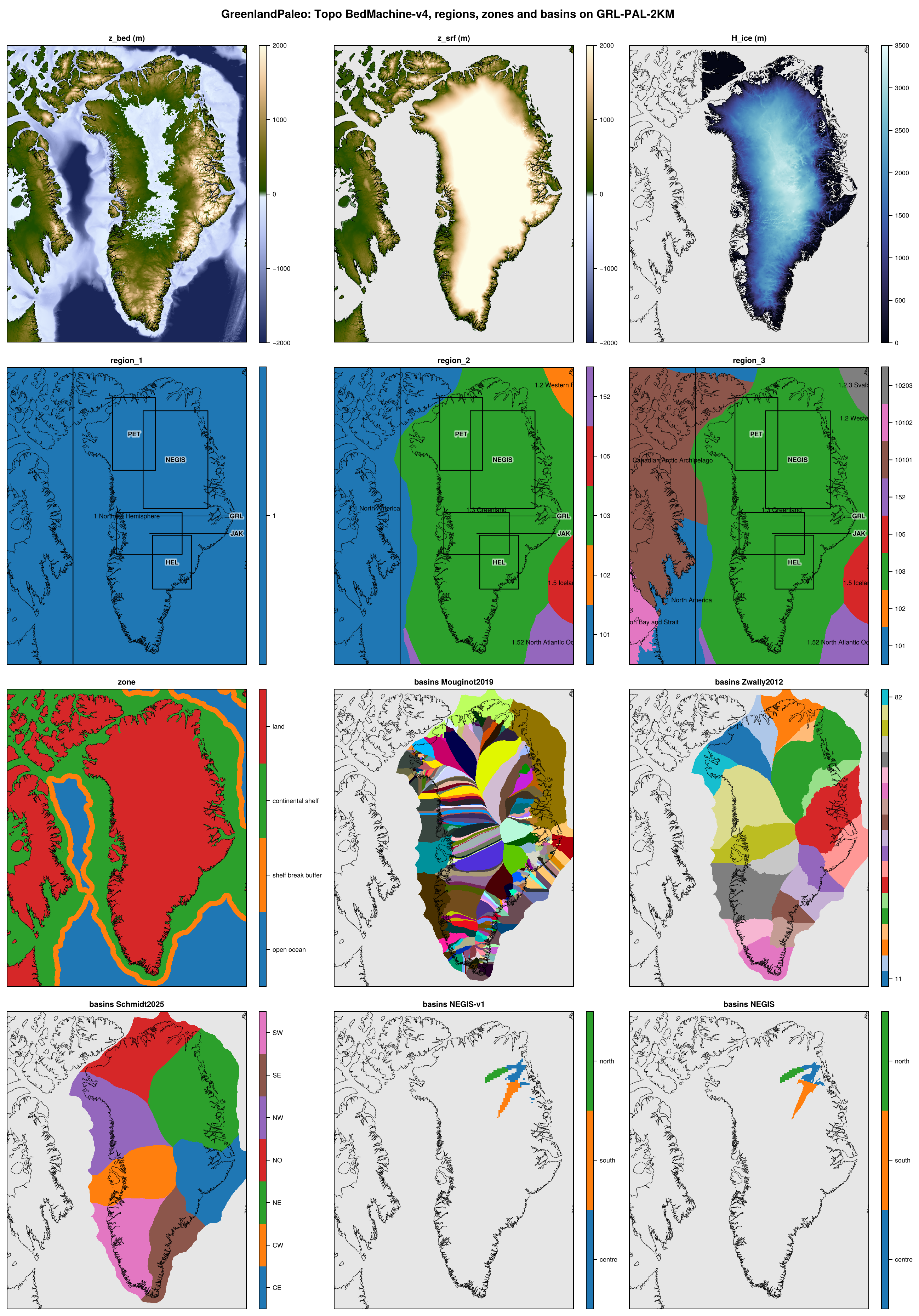
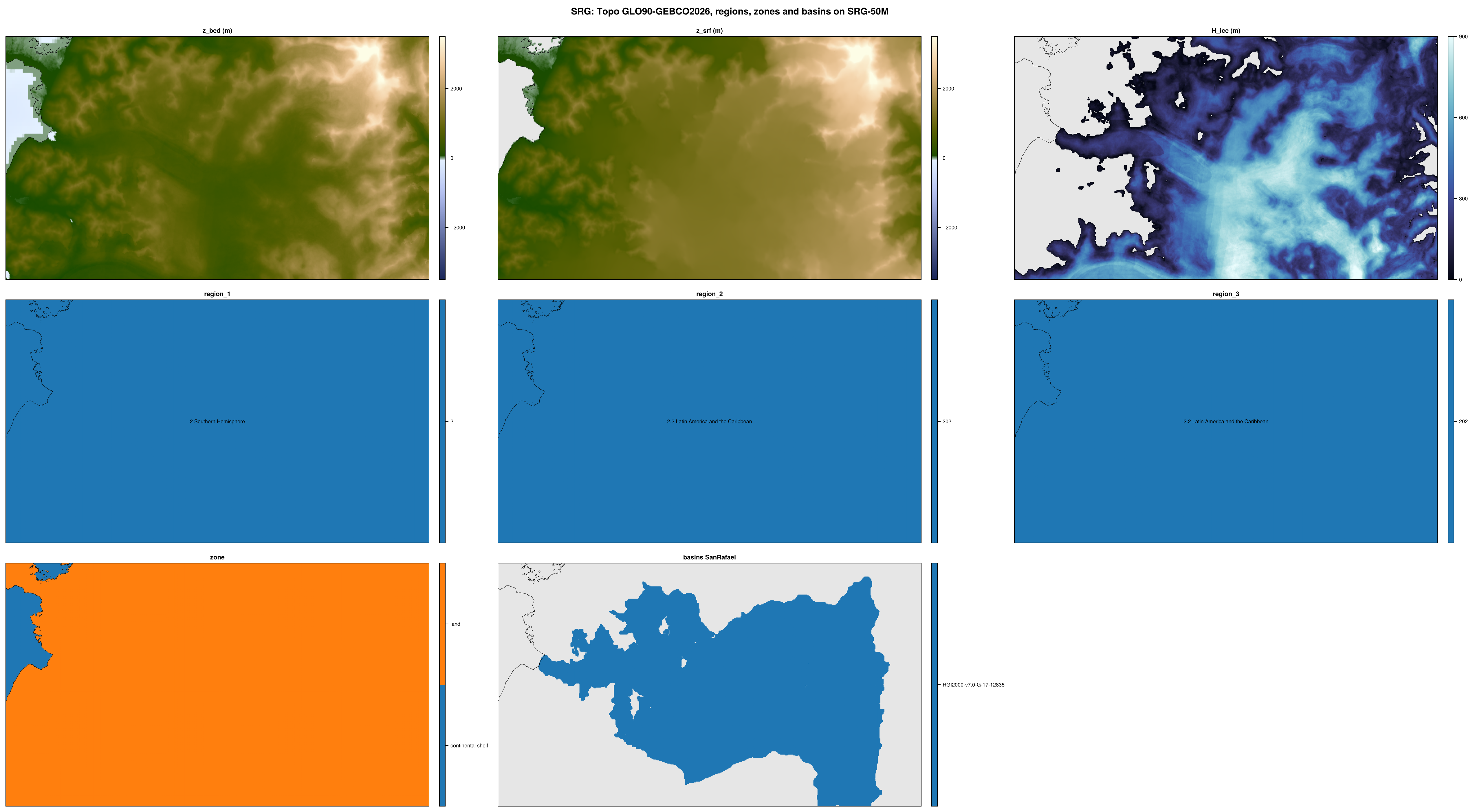
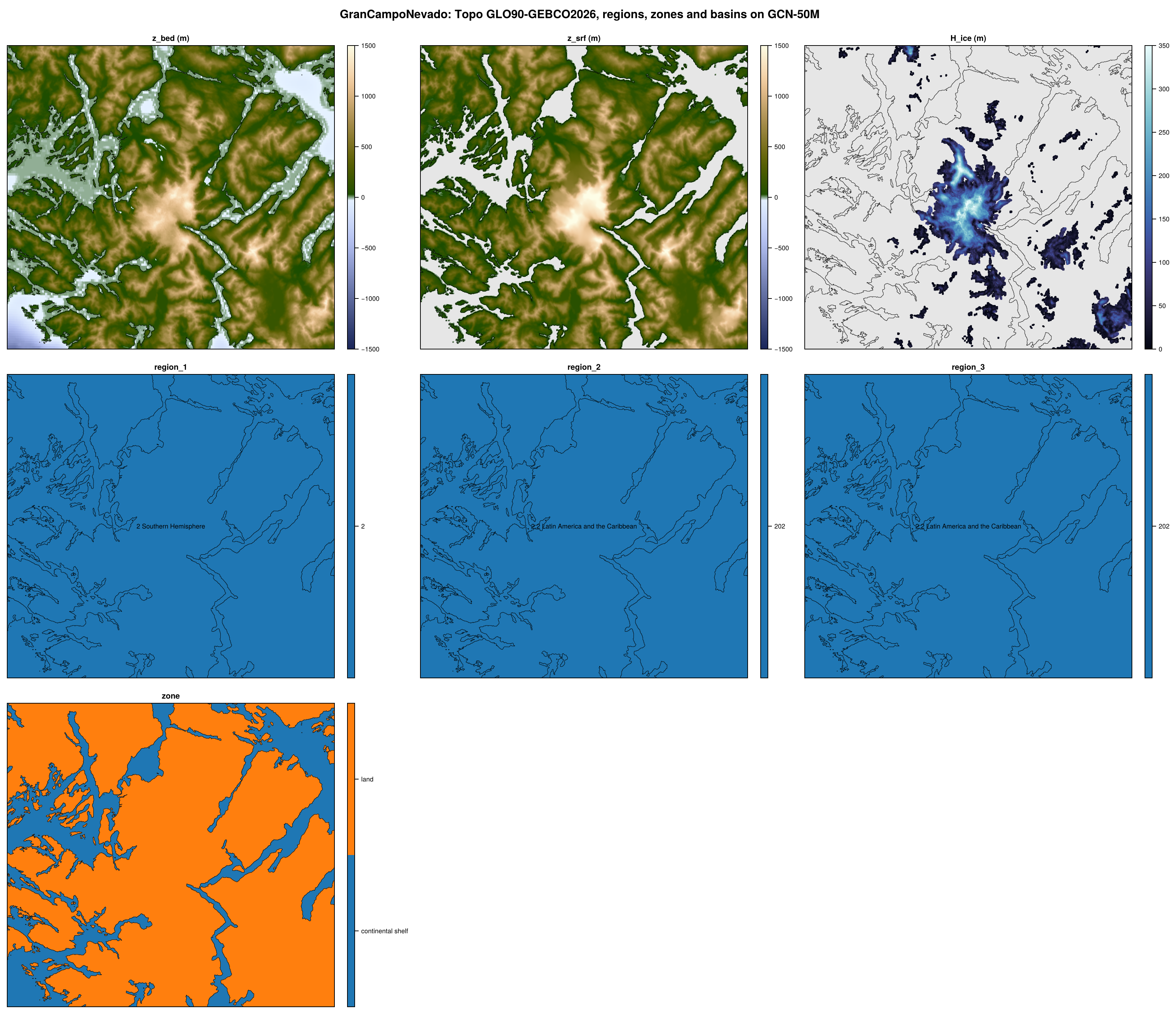
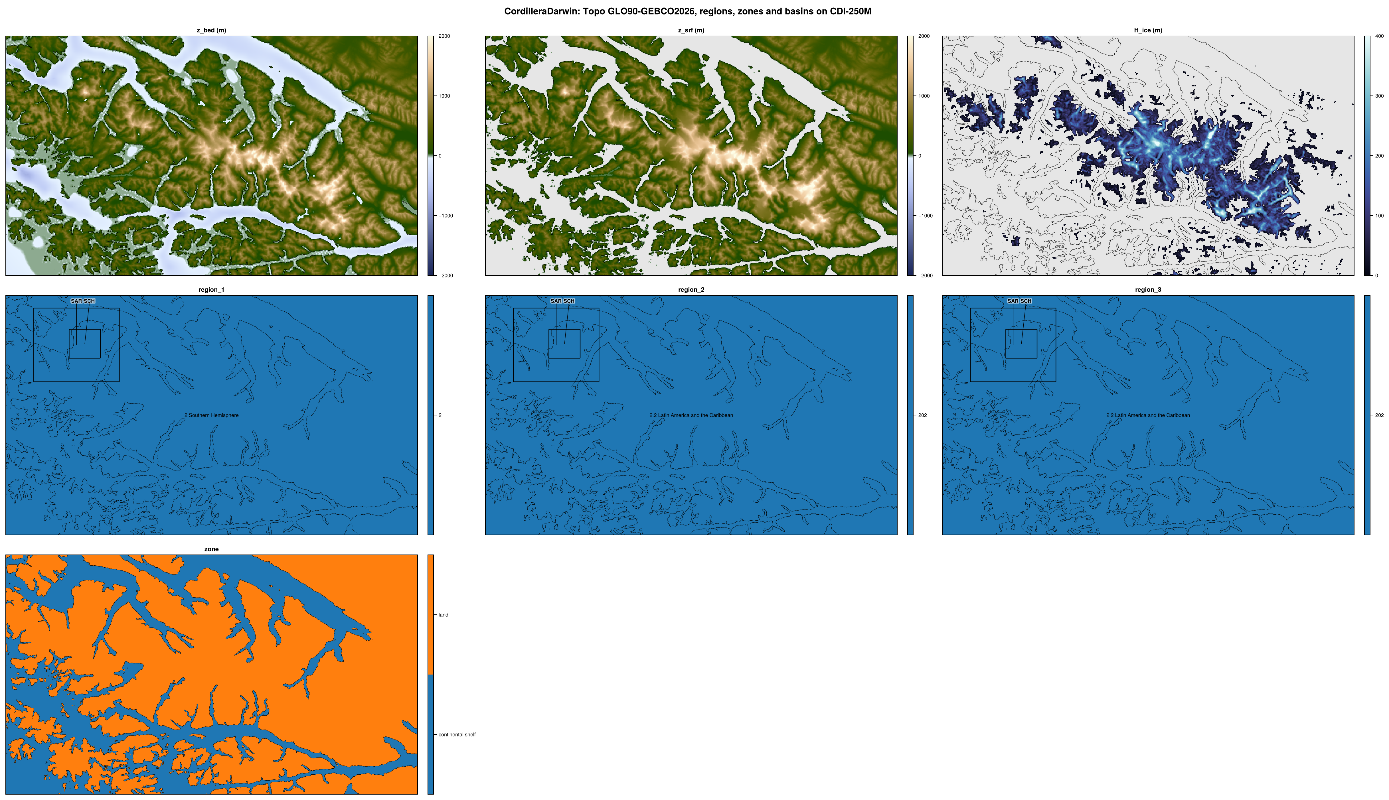
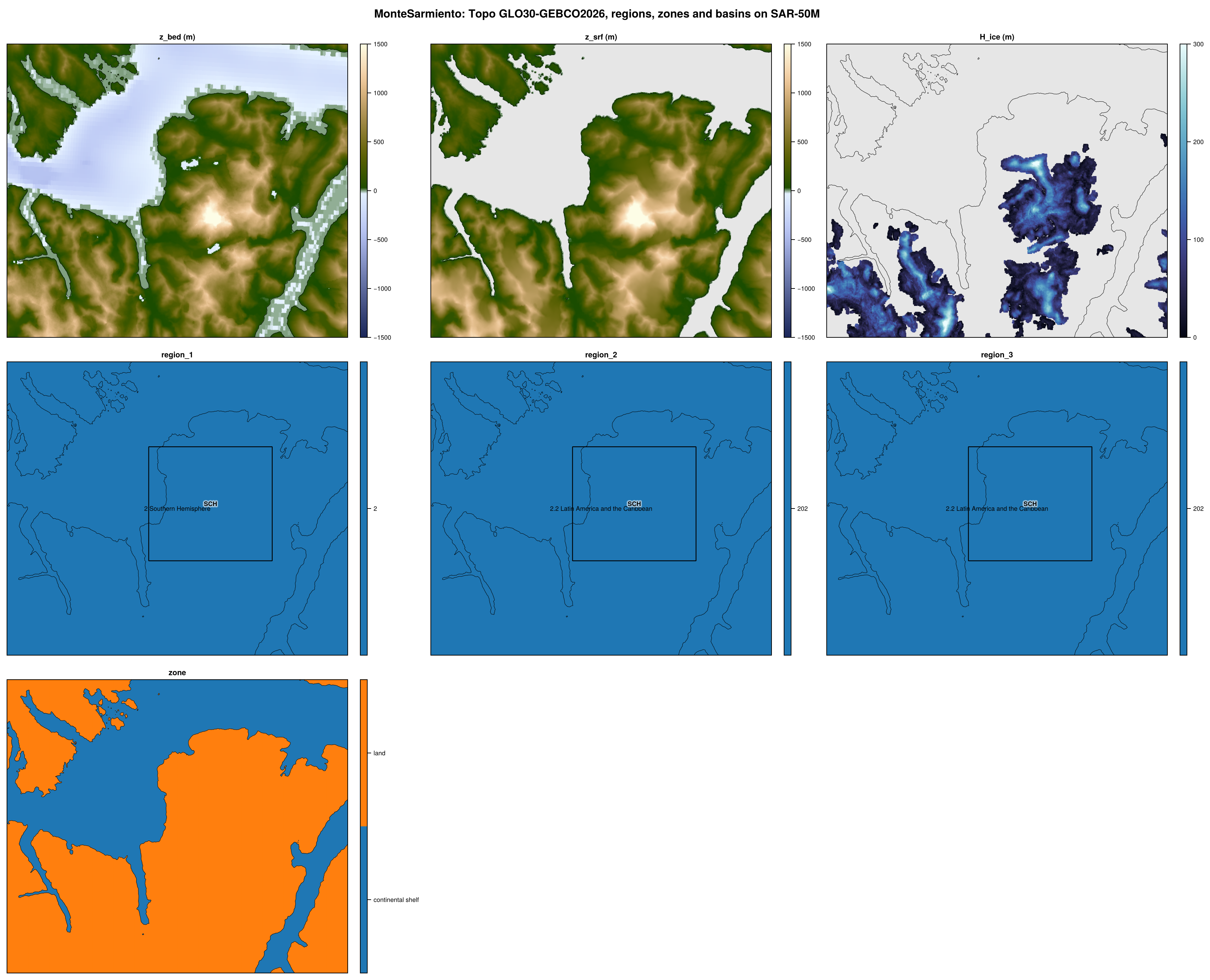
All datasets are made on the same model domains and grids, defined in shared/domains.toml.
Concepts
A domain is a region on a map projection (polar stereographic, transverse Mercator such as UTM, or Albers equal-area) with a base grid, its finest resolution, e.g. ANT-500M for Antarctica. The coarser grids of the domain are made from the base grid by merging whole cells, e.g. ANT-1KM to ANT-32KM. All grids of a domain are therefore nested: every coarse cell is made of whole base cells, and the datasets on them are exact conservative means of the base grid.
A crop is a smaller region inside a domain, cut from its grids, at the same resolutions or some of them, e.g. Greenland, a crop of GreenlandPaleo. Its extent is that of its grid at the base resolution; at each coarser resolution its grid is the cells of the domain grid that overlap this extent, so adding a resolution does not change the others.
A nest is a smaller domain inside a domain, on the same projection, with a finer base grid of its own, made from the sources like any domain, e.g. Jakobshavn (250 m) in GreenlandPaleo (500 m). At the resolutions it shares with its parent, its grids are the cells of the parent grids that overlap its extent, so that its 500 m grid is a part of GRL-PAL-500M.
A domain is active if its products are made and released. An inactive domain is defined, but left out of the releases (see Inactive domains).
Each domain, crop and nest has an output folder under $FESMDATA_PRODUCTS, which is also its name in fesmdata.jl and on the website (e.g. Antarctica, Thwaites), and a key, the prefix of the names of its grids (e.g. ANT, THW).
Domains, crops and nests
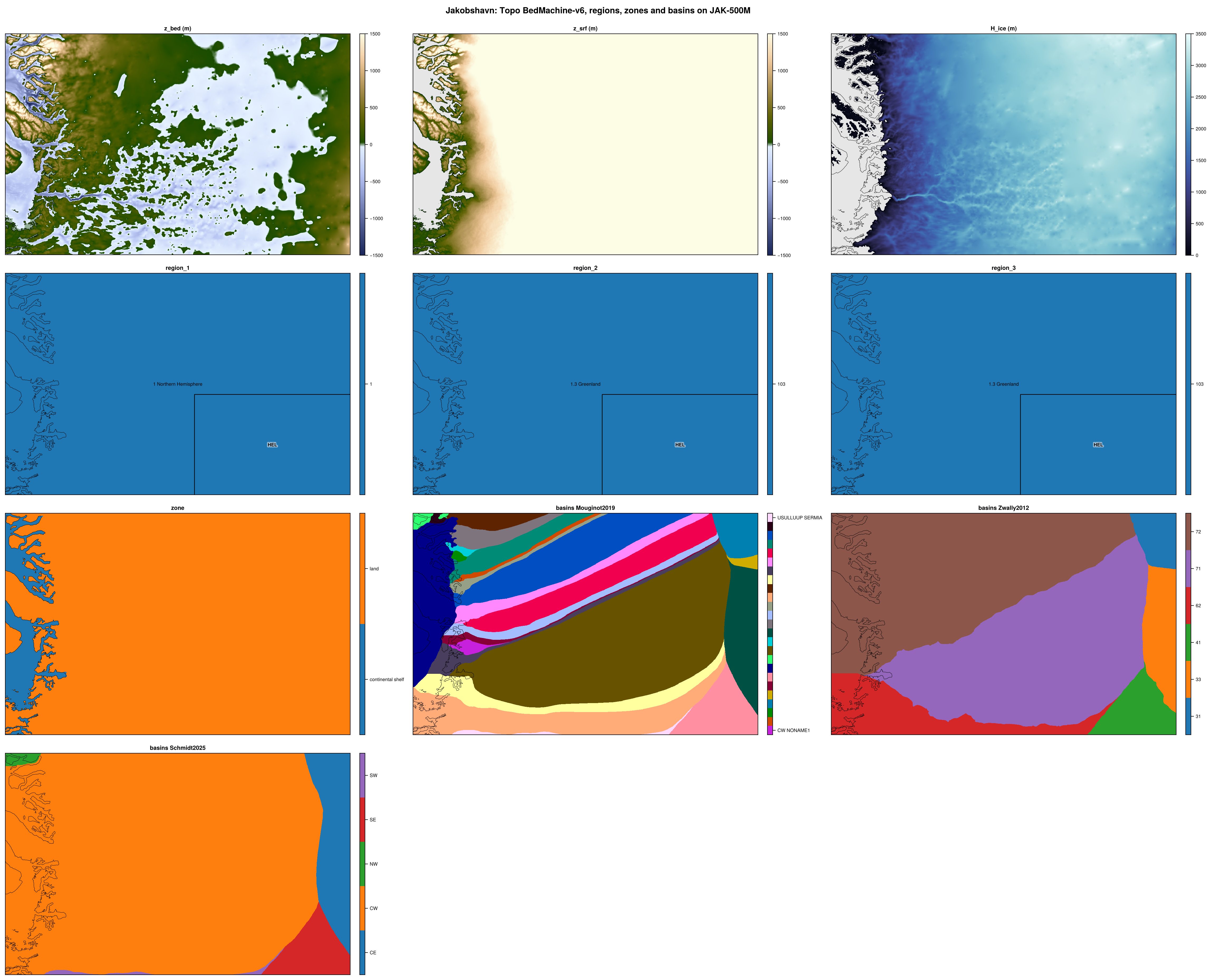
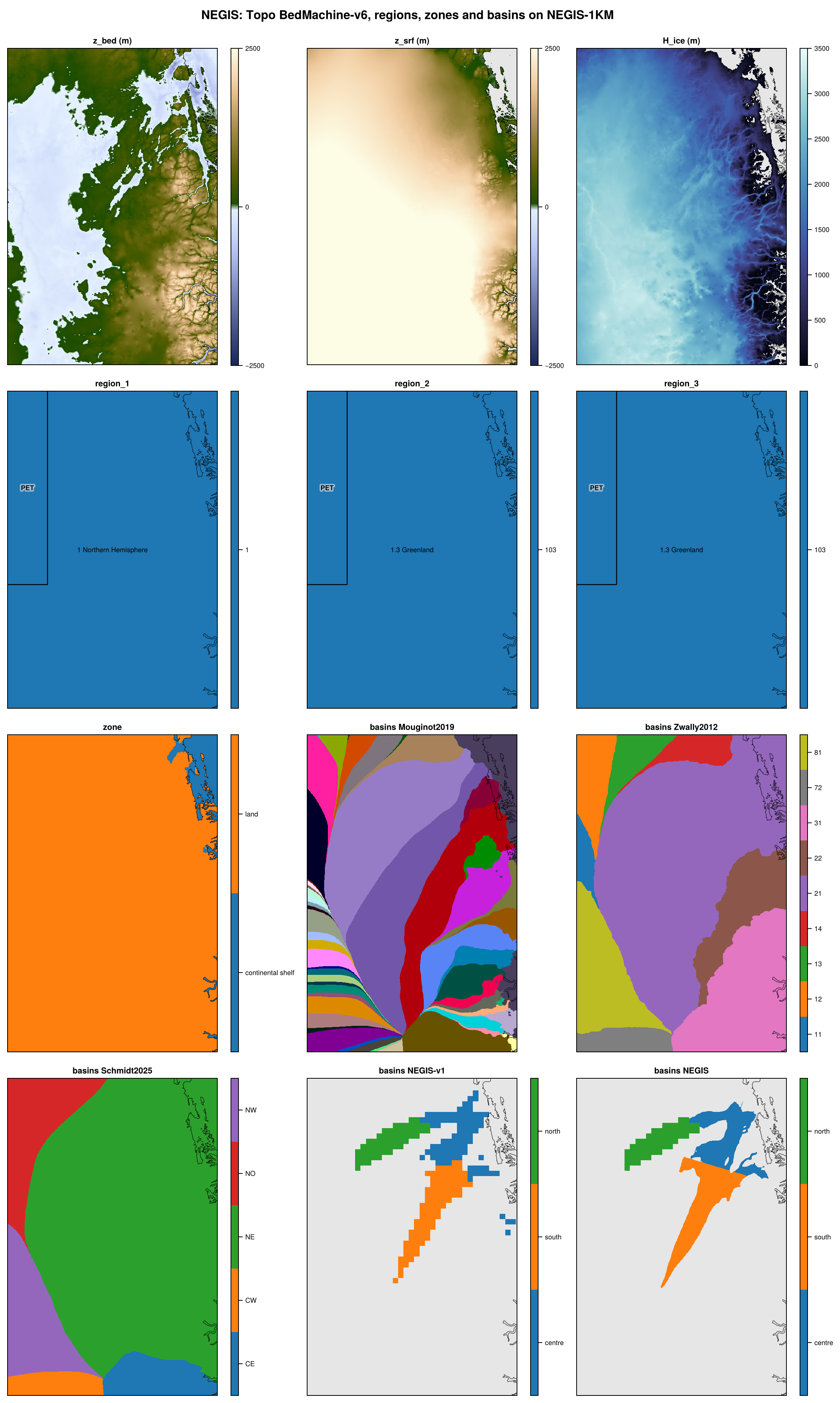
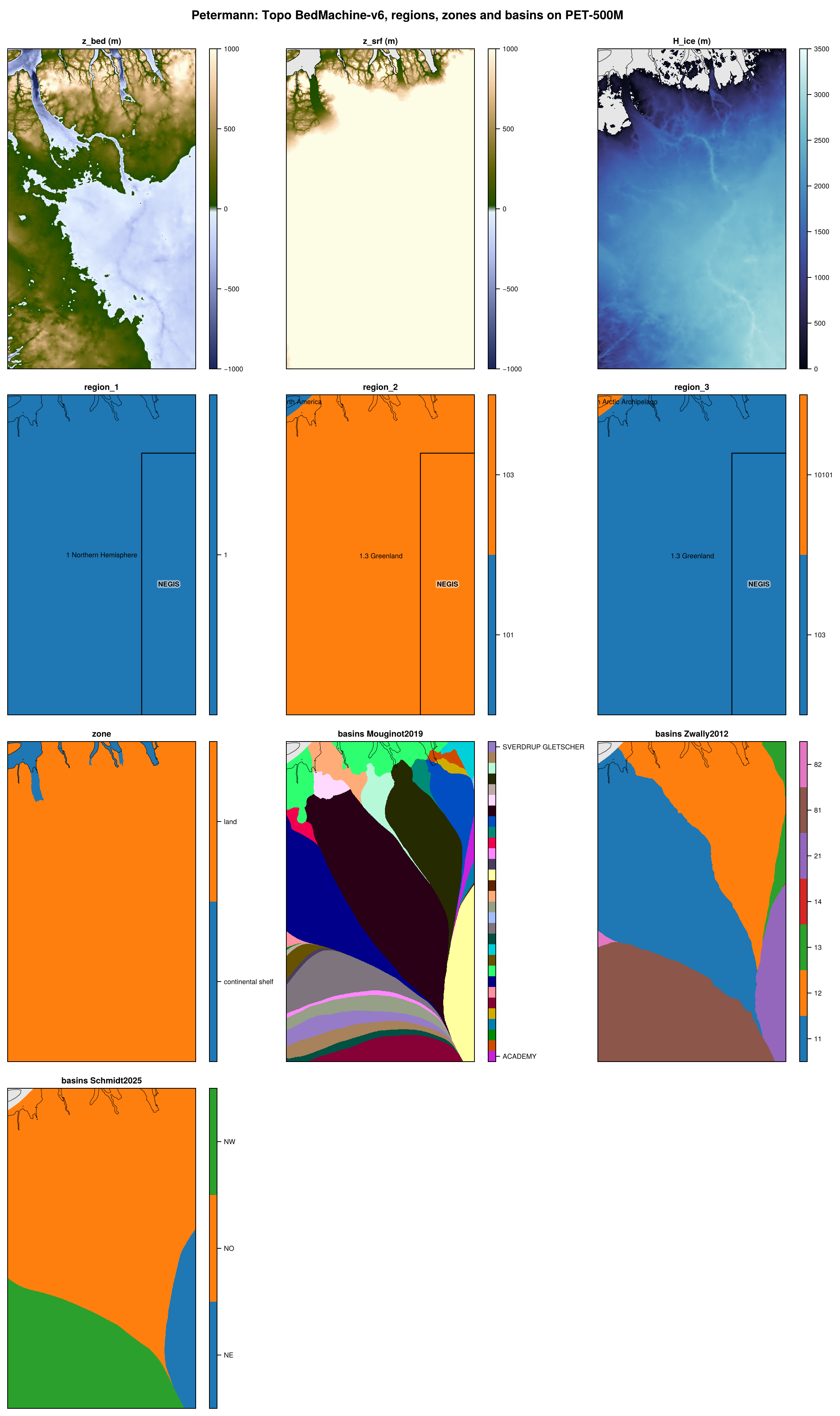
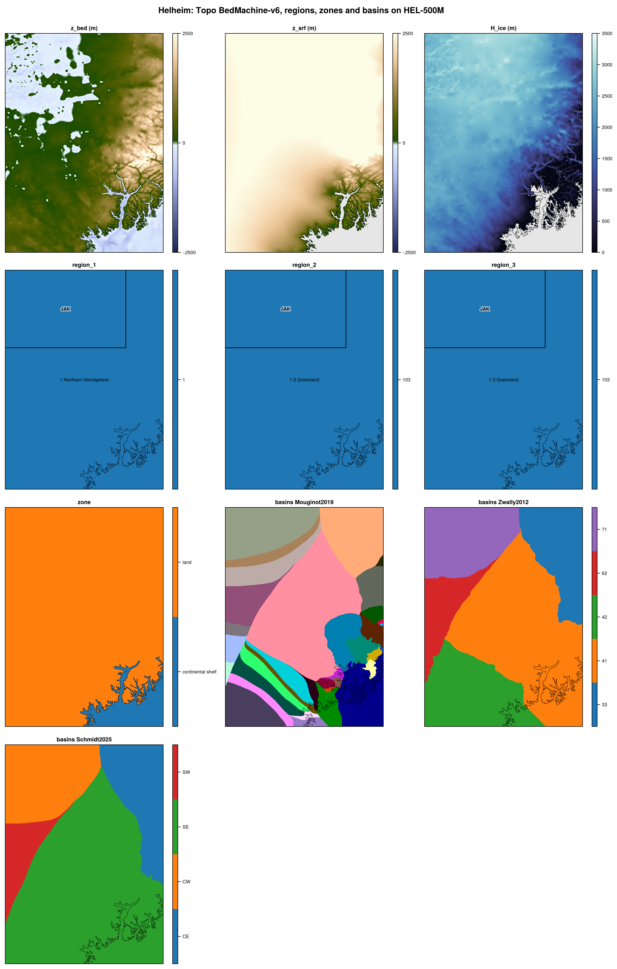
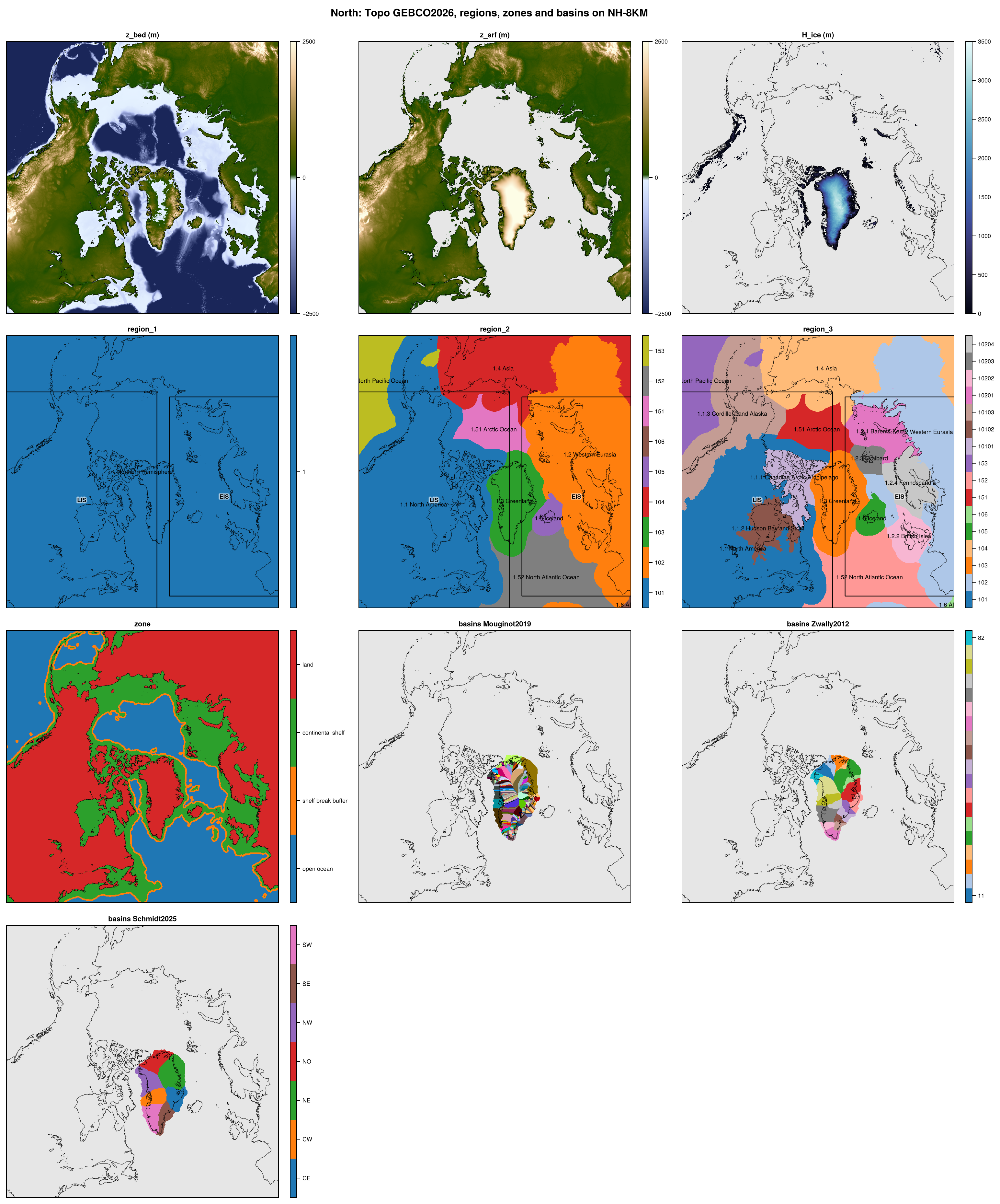
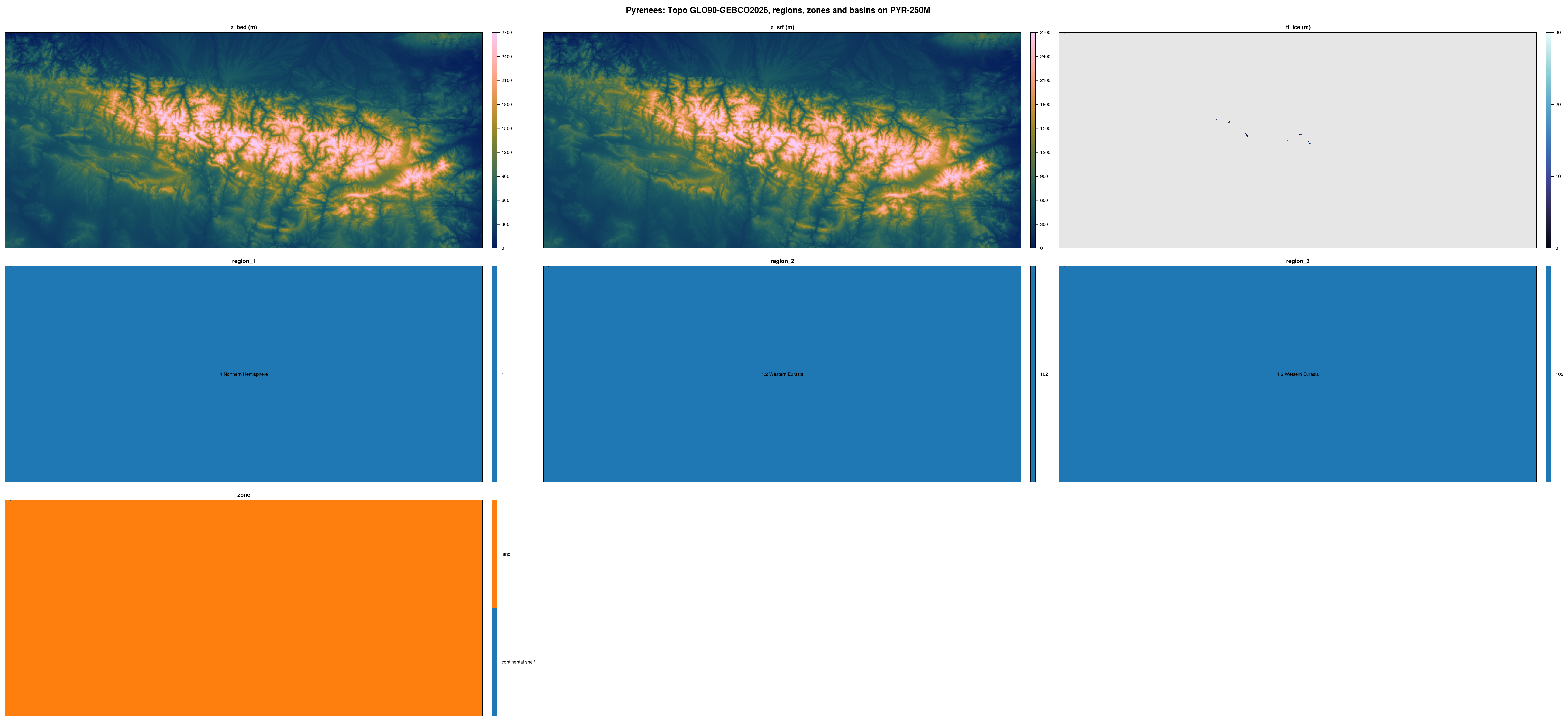
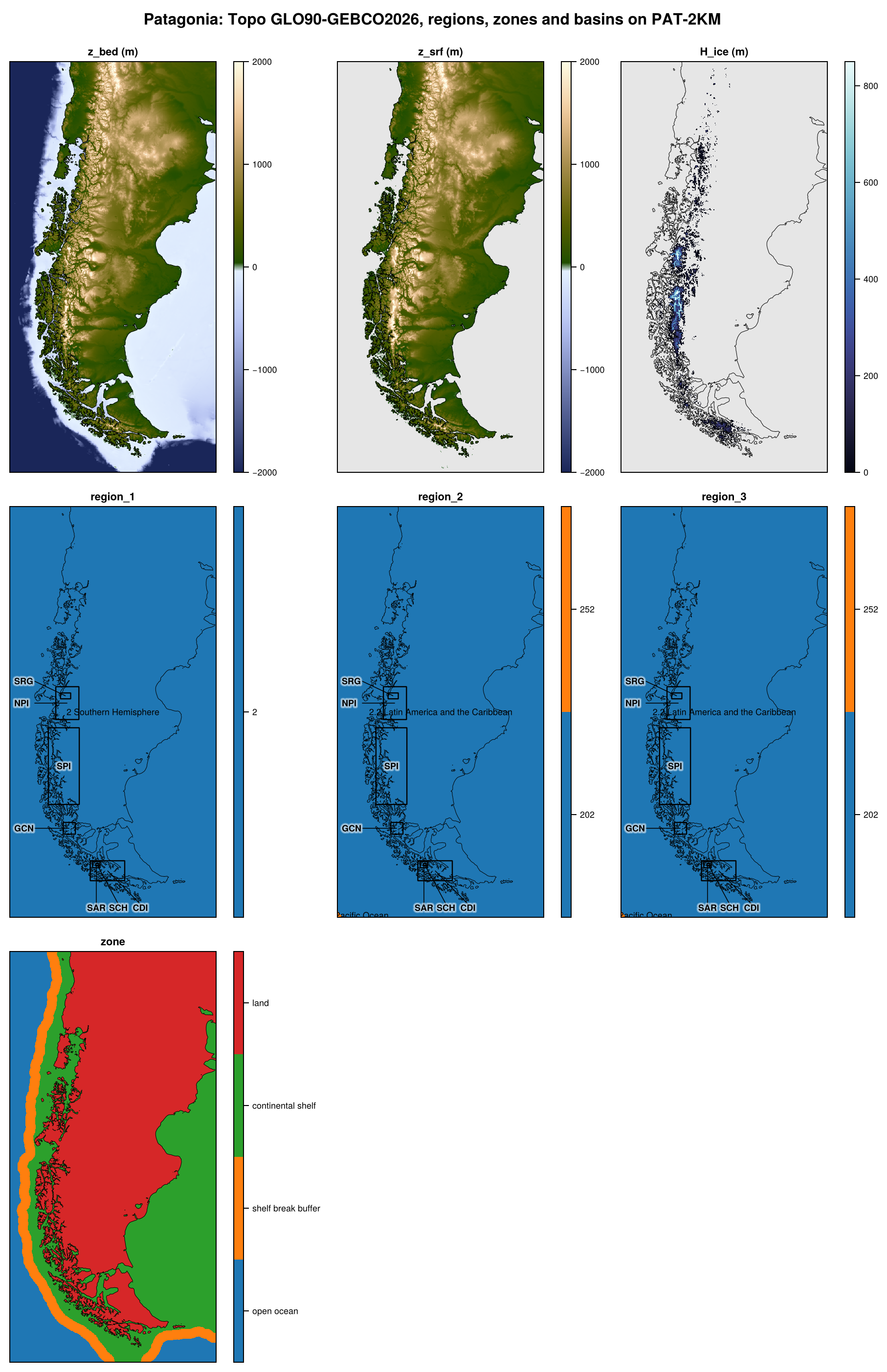
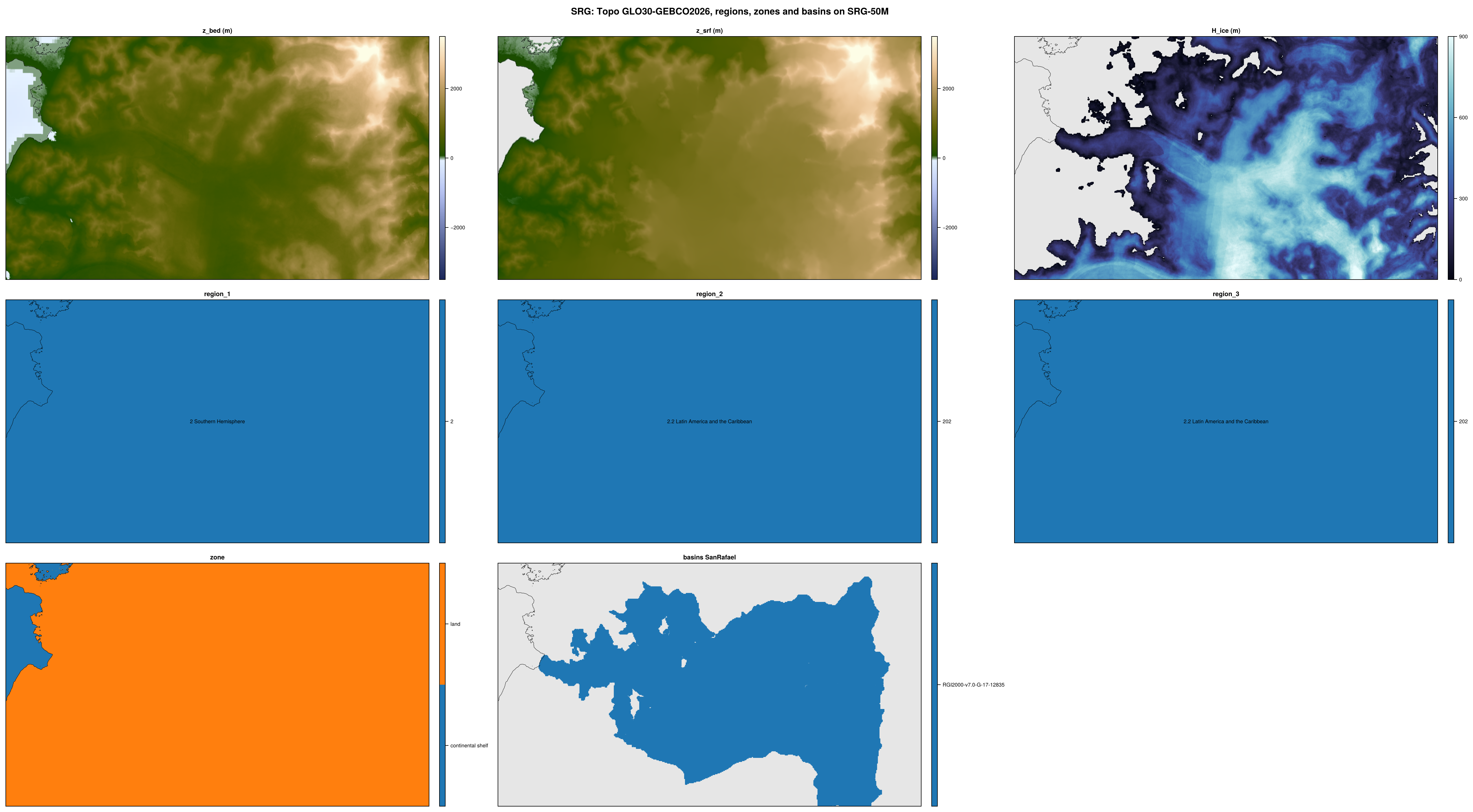
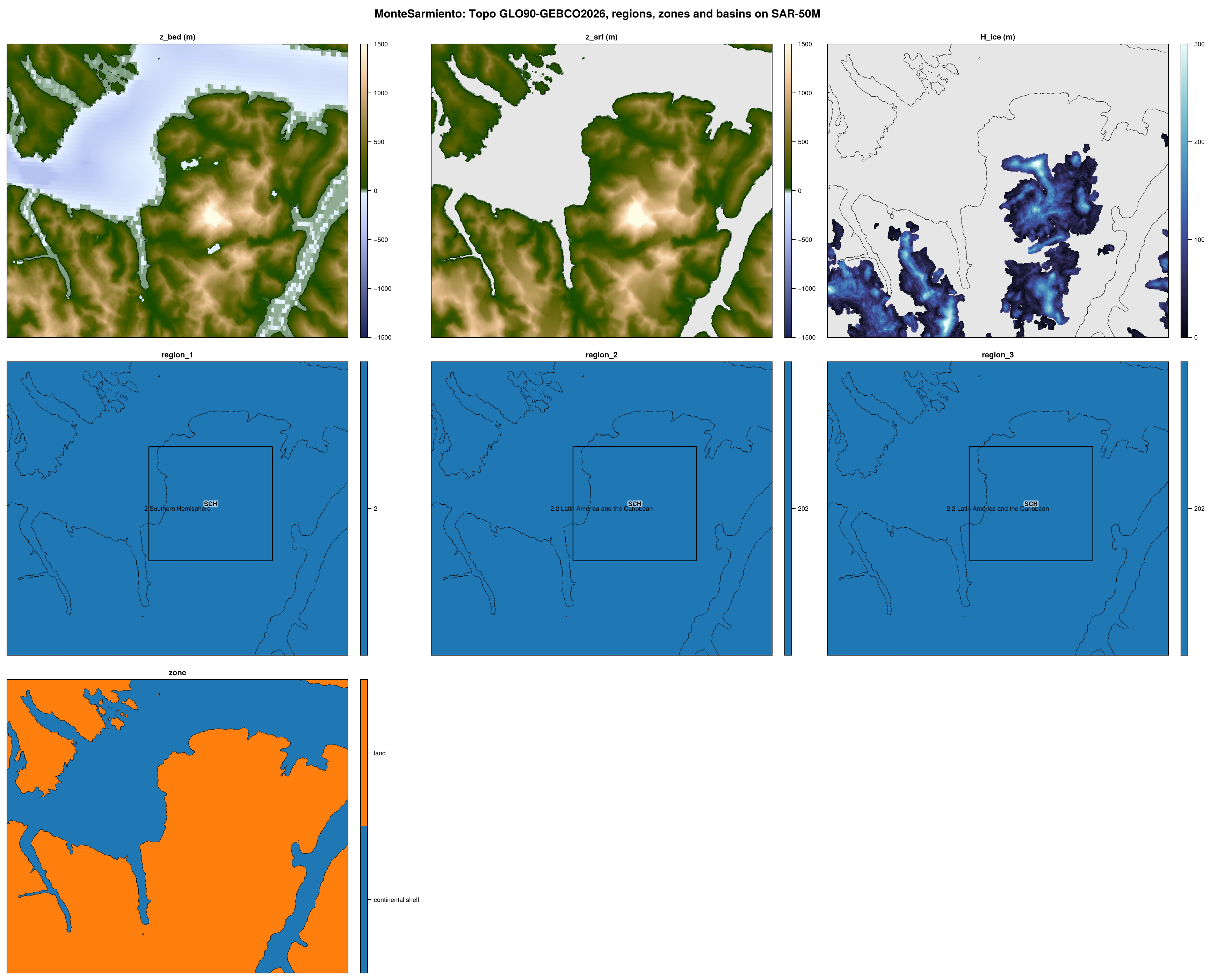
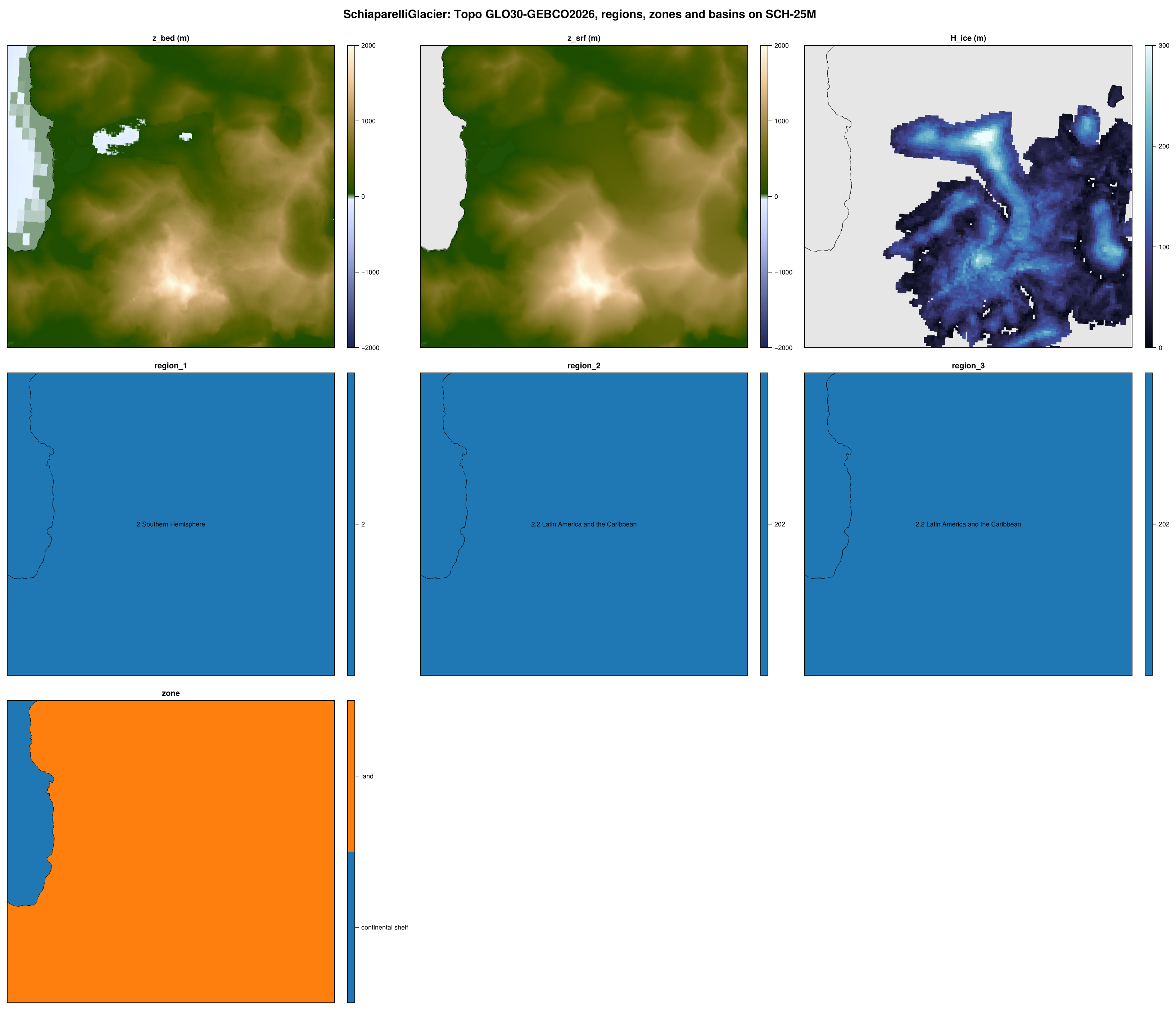
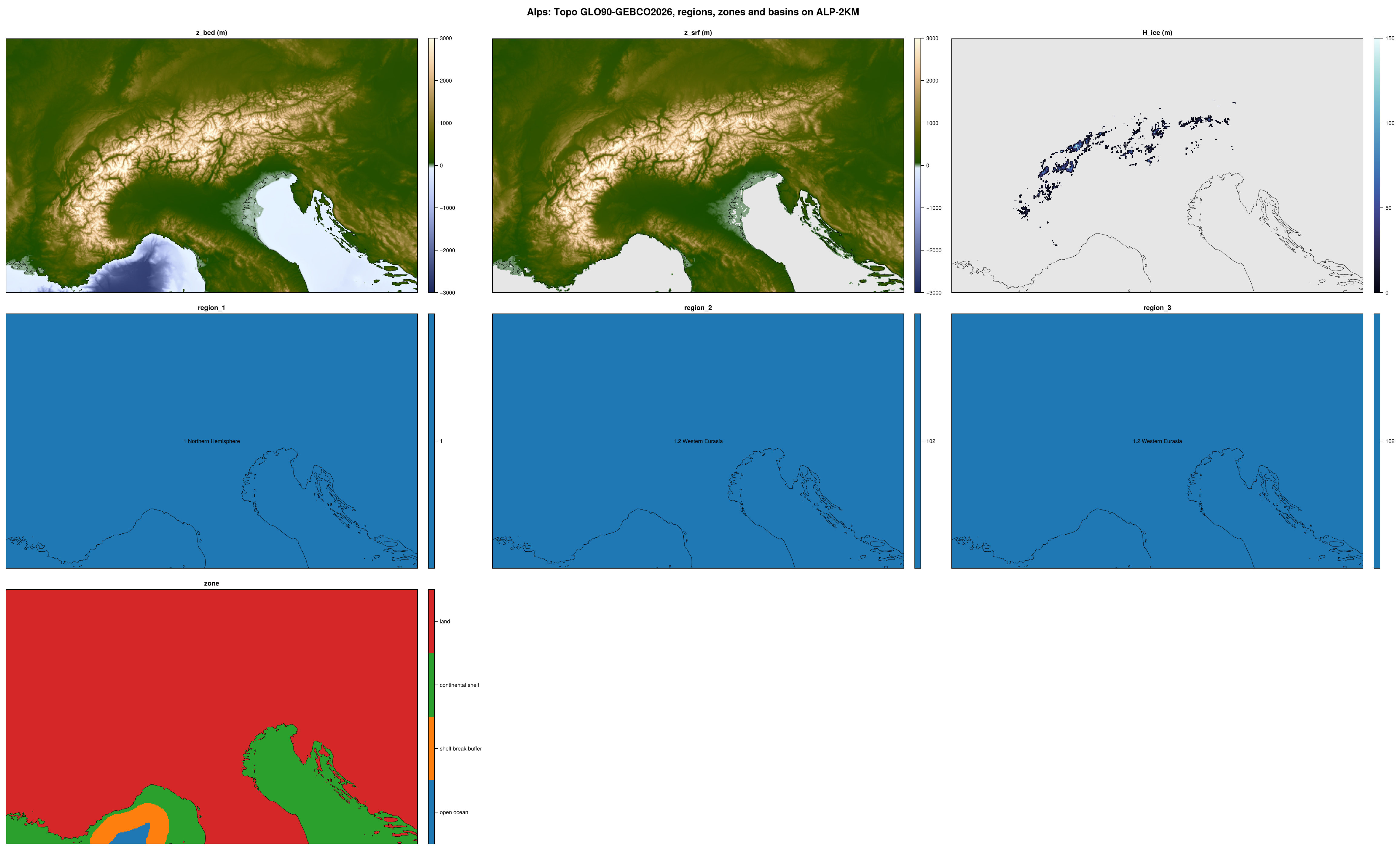
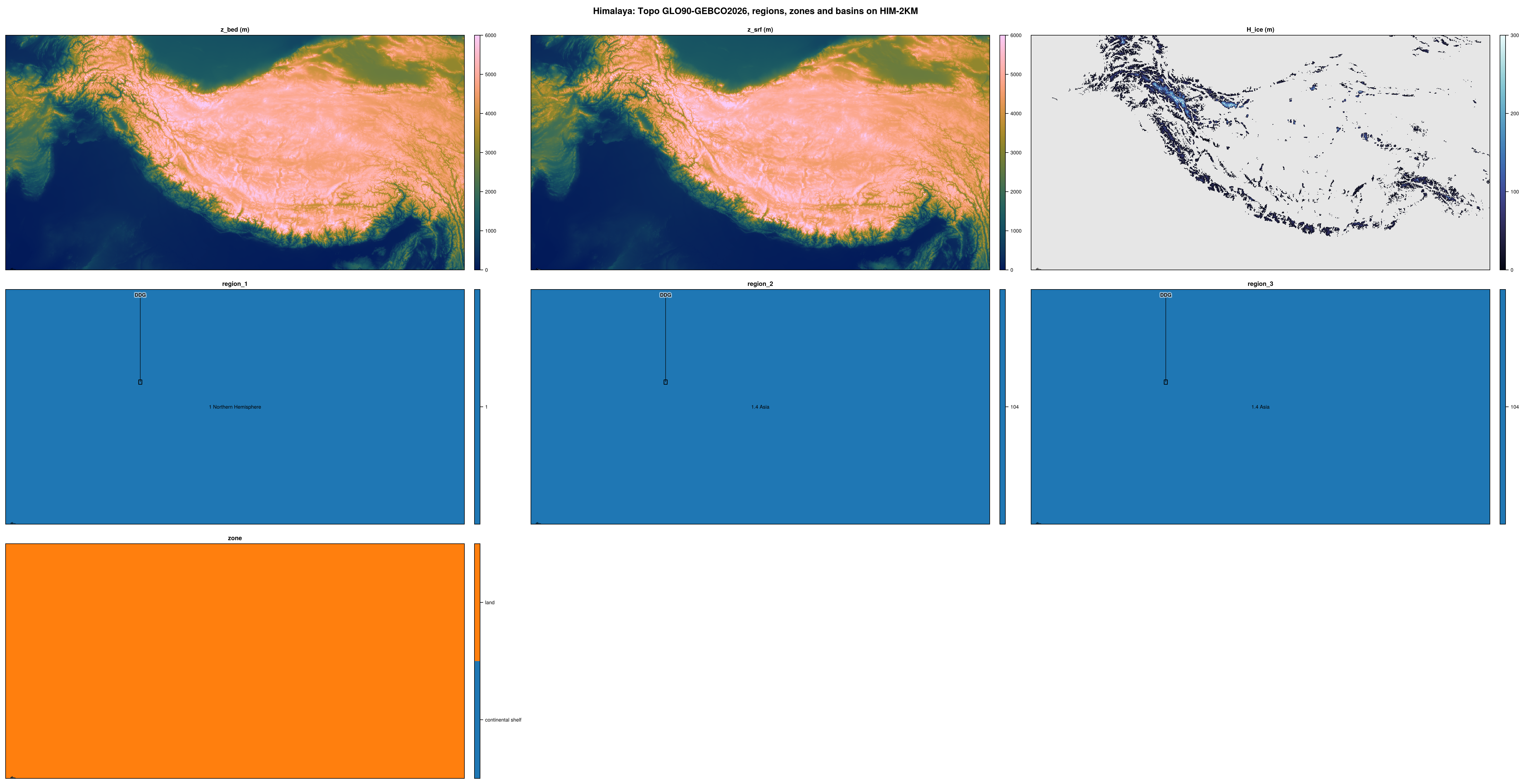
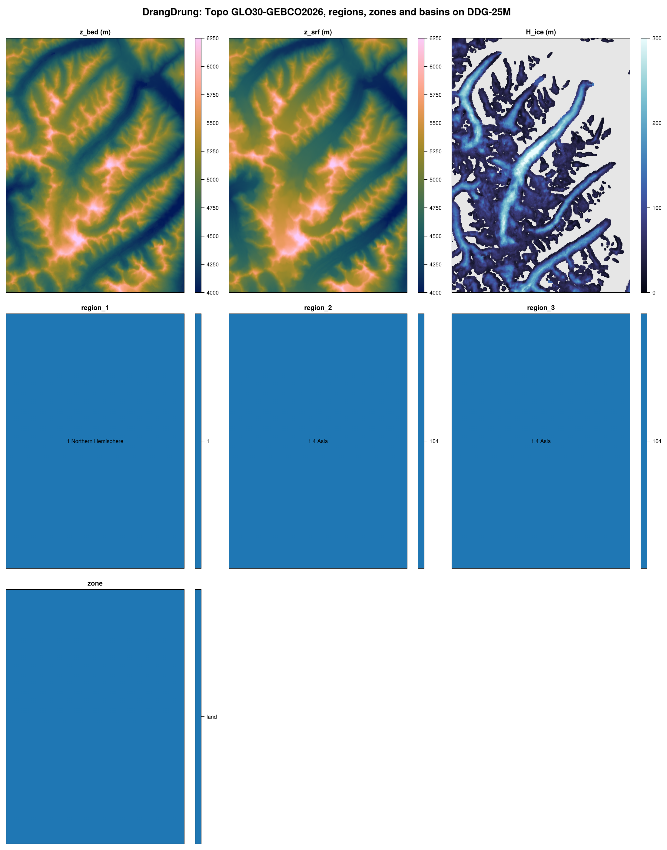
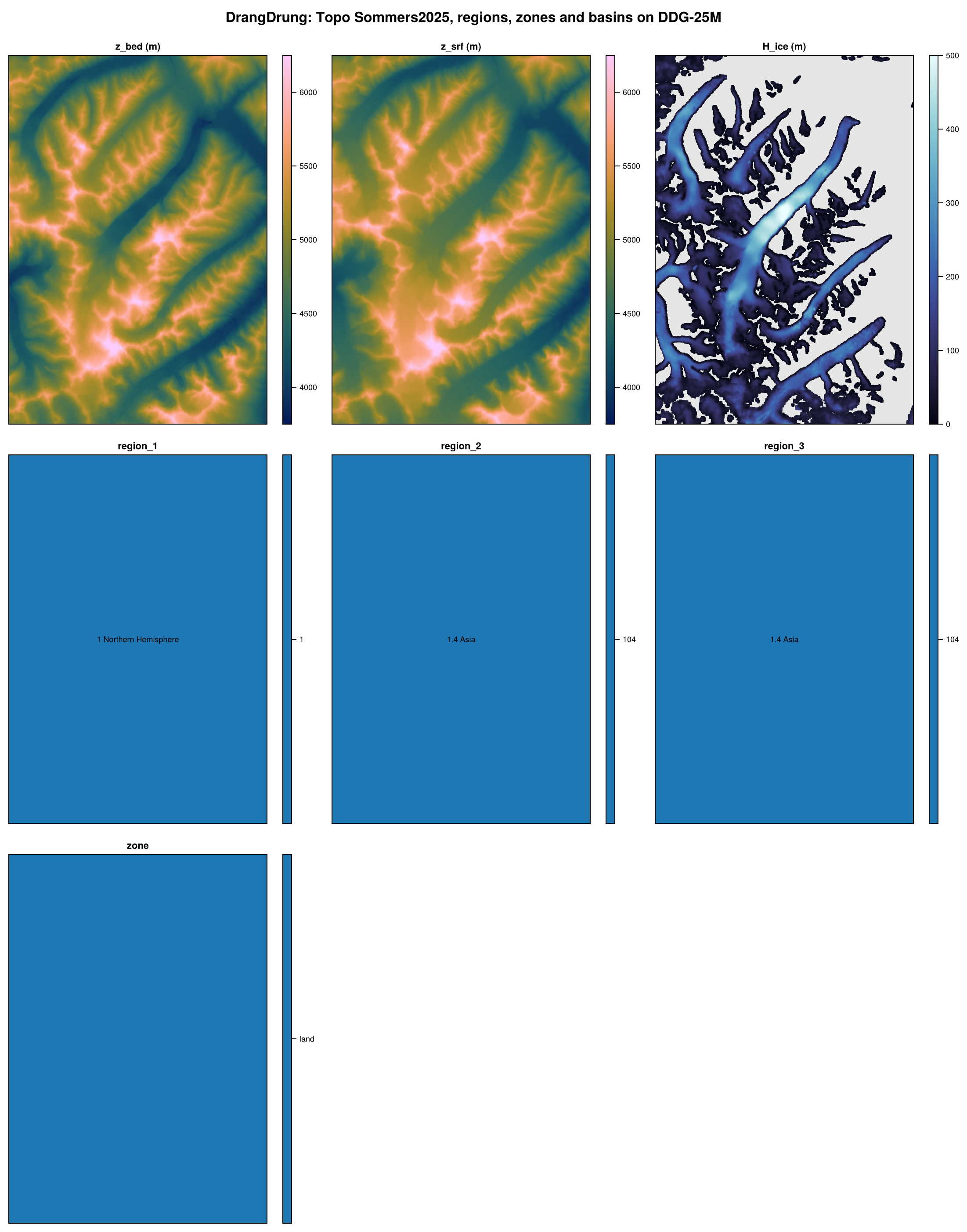
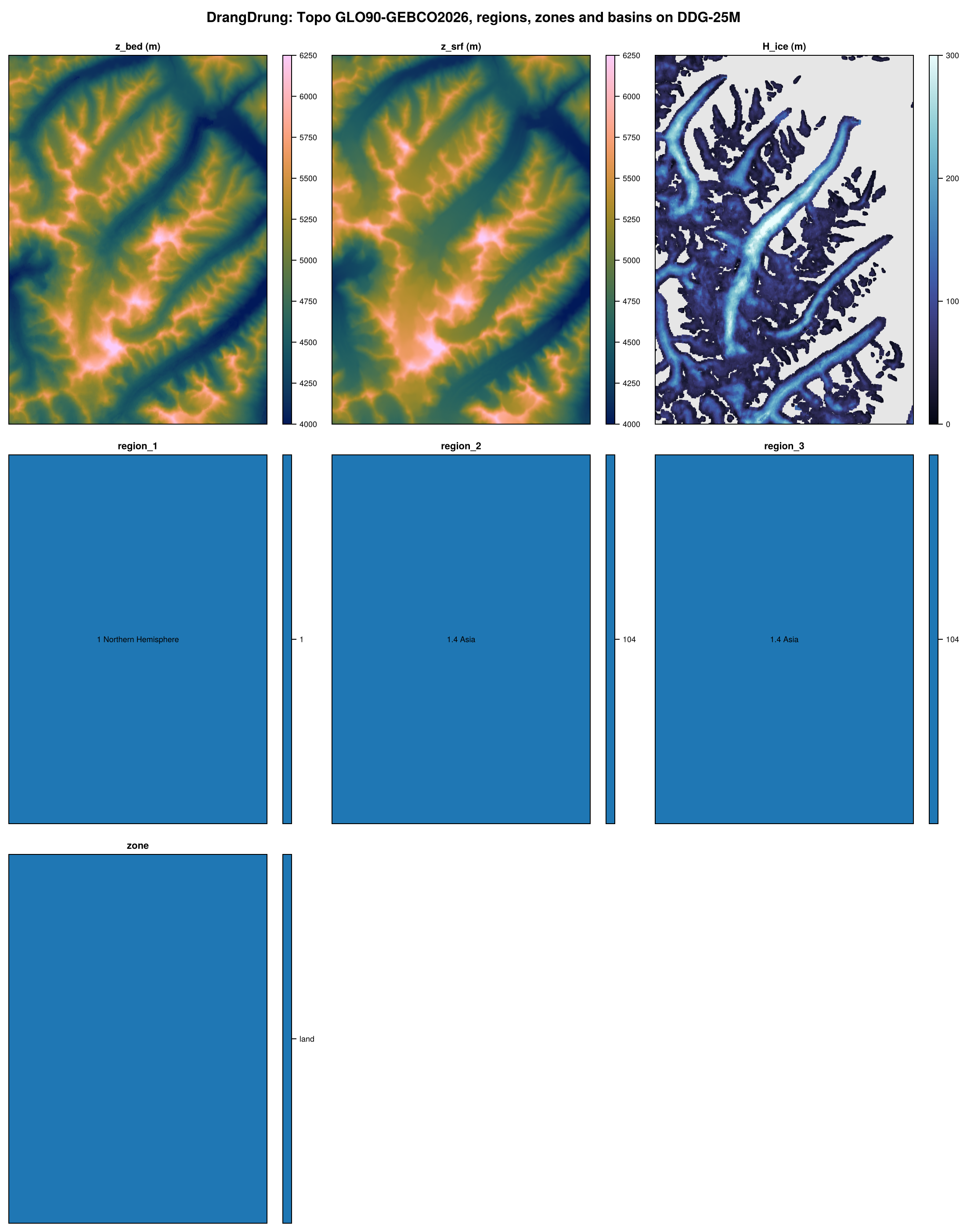
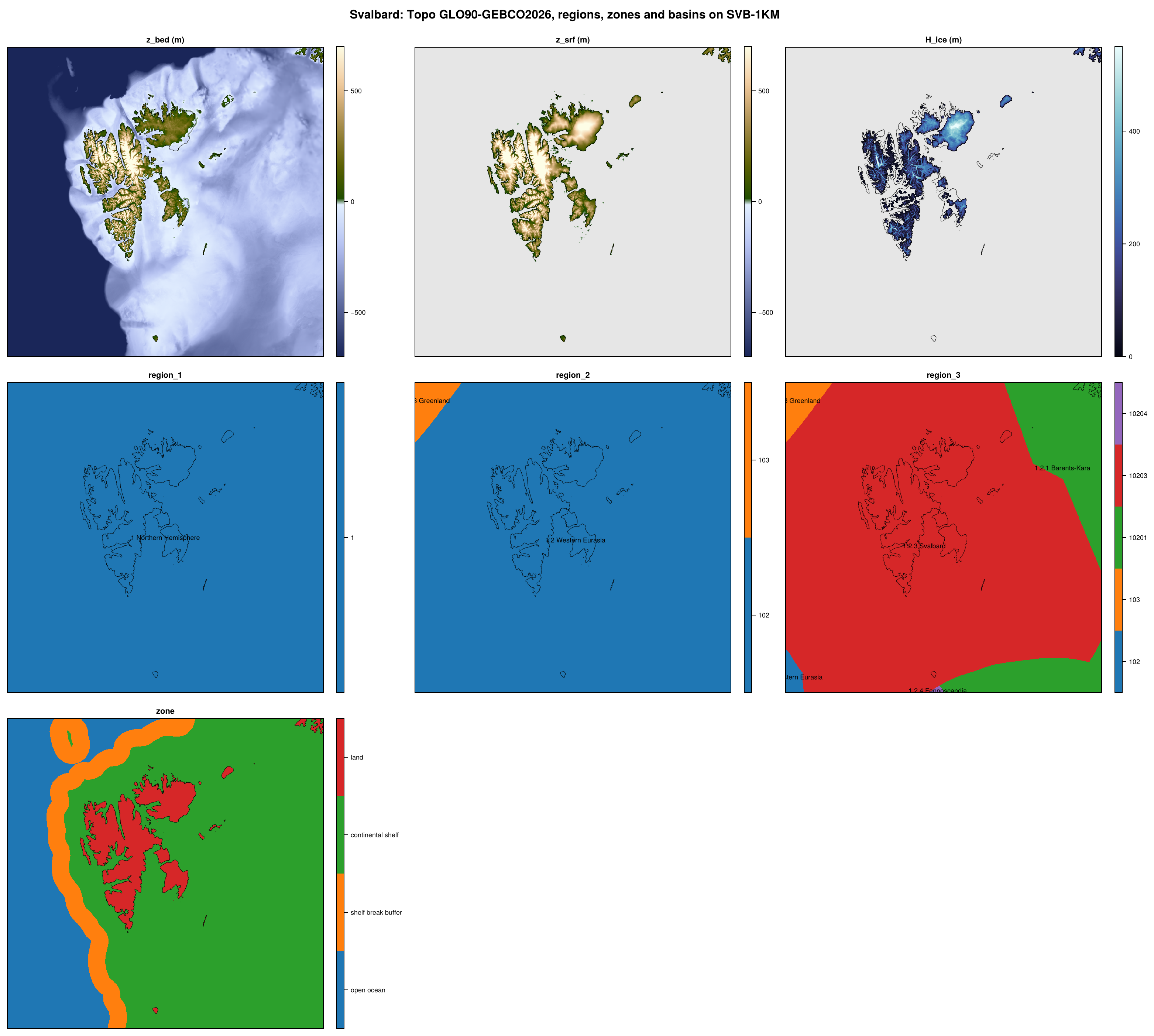
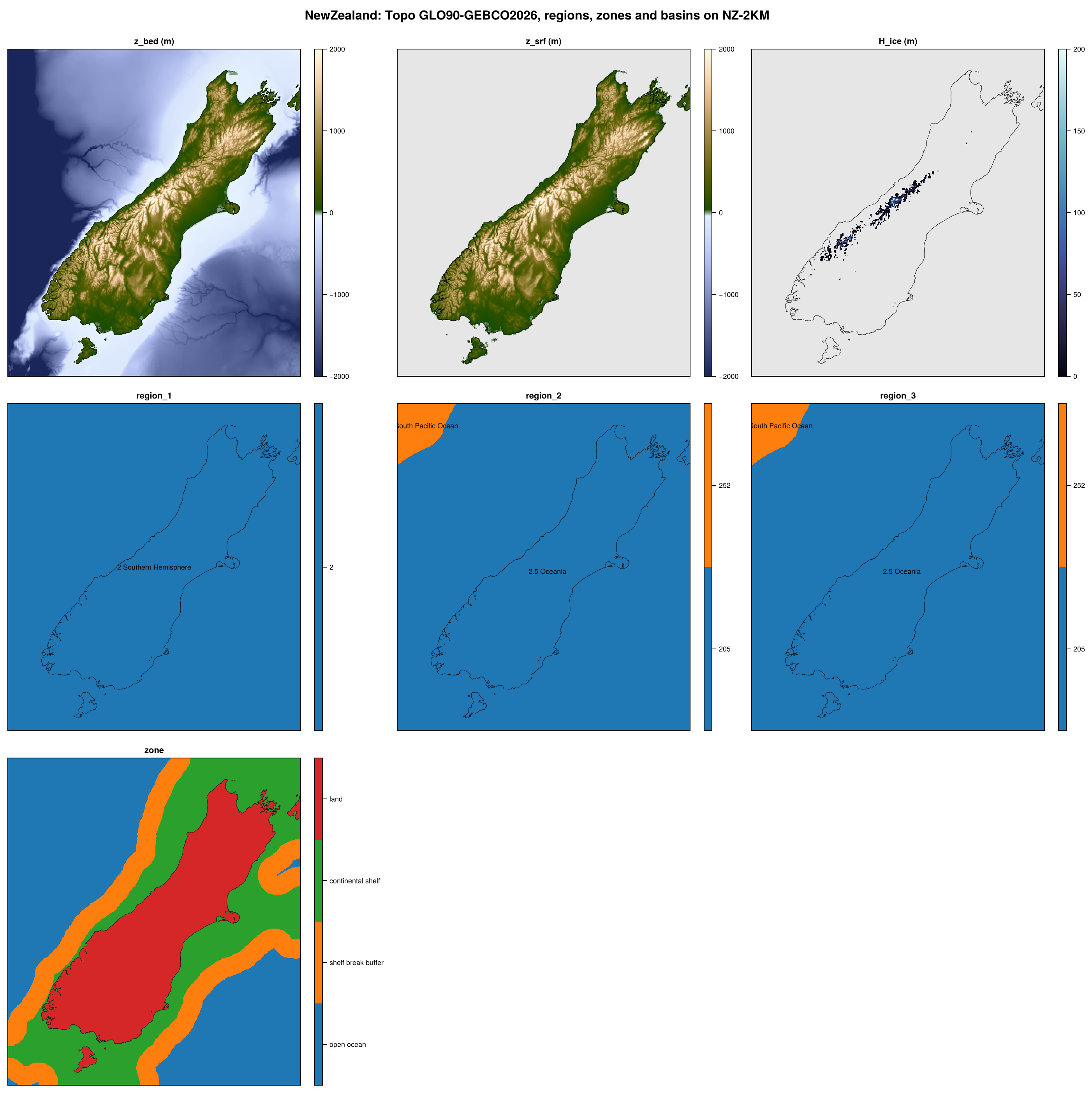
The overview figures show, for each Topo product of a domain (default products, then variants; of its parent, for a crop), its bed, surface and ice thickness together with the regions, zones and basins of the domain, on one of its finer grids. They are large and open on their own.
Antarctica (ANT, 500 m to 32 km), GreenlandPaleo (GRL-PAL, 500 m to 32 km; Greenland and the surrounding ocean and land, for glacial cycles) and North (NH, 2-32 km; the Northern Hemisphere ice sheets) are on polar stereographic projections. Greenland (GRL) is a crop of GreenlandPaleo, and Laurentide (LIS) and Eurasia (EIS) are crops of North.
The crops of Antarctica and the nests of Greenland cover single drainage basins, with their ice shelves or fjords and 50 km around them: in Antarctica the Amundsen Sea Embayment (ASE, at 500 m to 32 km), the Thwaites (THW) and Pine Island (PIG) glaciers, the Filchner-Ronne (FRIS), Ross (ROSS) and Amery (AMY) ice shelves with the grounded ice within 300 km upstream of them, and the Wilkes Subglacial Basin (WSB), at 500 m and 1 km; in Greenland Jakobshavn Isbrae (JAK), the Northeast Greenland Ice Stream (NEGIS), and the Petermann (PET) and Helheim (HEL) glaciers, at 250 m, 500 m and 1 km.
Mountain-glacier domains
The mountain-glacier domains cover the extent of their glaciers at the Last Glacial Maximum, each on the projection used for glacier modelling in its region, with base grids of 250 m (500 m for Svalbard) and a 2 km grid:
Pyrenees (PYR, UTM 31N).
Patagonia (PAT, UTM 18S), from 38°S to Cape Horn, with crops of the Northern and Southern Patagonian Icefields (NPI, SPI, 250 m), nests of single icefields at 50, 100 and 250 m: Gran Campo Nevado (GCN), the Cordillera Darwin Icefield (CDI) and Monte Sarmiento (SAR), and nests at 25, 50, 100 and 250 m of the San Rafael Glacier (SRG, whose 250 m grid is the v1 SRG-250M grid) and the Schiaparelli Glacier (SCH, Monte Sarmiento).
Himalaya (HIM, Albers equal-area of High Mountain Asia), the Himalaya, Karakoram and Hindu Kush, with a nest of the Drang Drung Glacier (DDG, Zanskar) at 25, 50, 100 and 250 m.
Alps (ALP, UTM 32N).
Svalbard (SVB, UTM 33N).
New Zealand (NZ, NZTM2000).
Global grids
The Global domain (GLOBAL) has global lon-lat grids at 0.1°, 0.25°, 0.5°, 1°, 2° and 5° (GLOBAL-0.1DEG, …, GLOBAL-5DEG), each with cell edges at -180° and -90°. They are not nested (0.25° is not a multiple of 0.1°). It also has Gaussian grids, named by their spectral truncation, e.g. GLOBAL-T170 (512 x 256, as used by VILMA), made only for the products that need them. Global sources are remapped onto these grids, so that all global products share them.
Grid names and grid files
Grids are named after the key of their domain (or crop, or nest) and their resolution: ANT-8KM, GRL-PAL-500M, DDG-25M, GLOBAL-0.5DEG. A grid name thus also gives its domain. Every grid has its own folder, with its grid files and all datasets on that grid:
$FESMDATA_PRODUCTS/<folder>/<GRID>/
    grid_<GRID>.txt         grid description (cdo)
    <GRID>_grid.nc          x, y, lon, lat and area of the cells
    <GRID>_TOPO-<product>.nc, <GRID>_REGIONS.nc, <GRID>_GHF-<source>.nc, ...
The grid files are released once per grid, in the dataset Grids, for all datasets on the grid: fetch gets them with the products of any dataset. To get only the grid files of a domain, or of a grid:
julia fesmdata.jl fetch Grids Antarcticajulia fesmdata.jl fetch Grids ANT-8KM
They are released on the grids with products of at least one dataset (Grids in the table above links to those of each domain), and listed below. The other grids (e.g. the grids of a nest at the resolutions of its parent, which get their products by cropping) get their grid files from fetch, which writes them with the crops. The grid files are written by Topo step 1 on the projected grids, and by fesmdata.jl remap on the global grids (see Grids/README.md).
Grid files of each domain
Global
Version 2.0.0 (2026-10-16, packages). 14 files, 337.5 kB.
julia fesmdata.jl fetch Grids Global     # all grids
julia fesmdata.jl fetch Grids GLOBAL-T170     # one grid
Topo and Regions are made on every grid of every active domain, crop and nest, from the high-resolution sources. Regions also has the masks of the nests and crops of a domain on all grids of the domain, its crops and nests (<GRID>_DOMAINS.nc, see Regions).
The thematic datasets (GHF, Velocity, SMB, …) are made by remapping published maps, which are much coarser than the base grids. They are made only on the grids that add information: as a rule, no grid is finer than about a quarter of the spacing of the source, e.g. 16 km and 0.5° for sources at 1-2°, 8 km and 0.25° for sources at 0.25-0.5°, 4 km for most others, and the 2 km grids of the mountain-glacier domains. A model that needs a finer grid can remap online.
They are released on the domains, and on the crops that a product lists (e.g. Greenland, Laurentide and Eurasia, or a Greenland-only source on Greenland). The other crops and the nests lie on the grids of their domain, so they get the thematic datasets by cropping those of their domain (or of a crop that contains them, e.g. Greenland for Jakobshavn), on demand, when they are downloaded (see Nests and crops). Products shows which dataset is on which domain.
Inactive domains
A domain can be defined but not used yet (active = false in shared/domains.toml; none at present): its grids and products are made only on request, and it is left out of the releases and figures. To have one made and released, open an issue.